
WHAT MAKES US UNIQUE
technical expertise and creative solutions
Our team is staffed by a combination of tribal and non-tribal members trained across a variety of fields and methods that include environmental sciences, geographic information systems, geology, biology, ethnography, archaeology. Our team specializes in multi-disciplinary approaches including planning projects that leverages our experience to expedite your project and quickly troubleshoot issues once your project is underway.
SERVICES WE OFFER:
Compliance Monitoring
Our archaeologists perform site and construction monitoring for government agencies such as the US Army Corps of Engineers, utility companies like PGE and Bonneville Power Administration, and various local government agencies in Oregon.

Archaeological Surveys
GeoVisions uses state of the art technological data collection methods, background research, and traditional knowledge to properly prepare for and execute archaeological surveys conducted by experienced field technicians. We strive to provide our clients with accurate site recording data that follows all development and conservation regulations, and to recommend all mitigation measures to ensure that not only our clients avoid project delays but that all stakeholders are actively involved with the process and an accurate evaluation is conducted.

Archaeological Excavations
We try to avoid disturbing cultural resources when possible, but sometimes a project calls for excavation and testing. We provide these services with the idea of cultural preservation as being the key focus of our work. Our archaeological technicians conduct these excavations using industry-standard methodologies and accurate recording techniques that allow for robust site analysis.

Drone Services
GeoVisions is now offering drone services to help with site documentation, research, preservation, and promotional / educational needs. There are multiple applications with this service. Here’s a list of some of the things that we can create with drone technology:

● Photography / Videography: Our team can capture detailed 4K videos and high-resolution photos for your project that are highly detailed and can be used for promotion, film-making, advertising, documentation, conservation, and outreach. Quadcopter drones can be used to make sites in difficult terrain or inaccessible locations easier to document or observe; this imagery aids in the site evaluation or monitoring process. We take high quality georeferenced aerial site overview photos that can be integrated with GIS software for use in site records, monitoring forms, or promotional purposes.
Photogrammetry: GeoVisions provides photogrammetry services to create realistic 3D models, point clouds, and orthomosaics based on photos taken by drones that can be used to analyze real-world dimensions and surfaces. These non-invasive models provide a better spatial understanding of sites and allow digital preservation and observation of structures or landmarks without disturbing cultural resources. They can also be exported as GIS software compatible models.

3D Artifact Scanning: We can create accurate and detailed 3D models of cultural resources on-site with mobile devices. All it takes is a video or a series of photos of an object in the field to create a to-scale 3D model that can be viewed online, in augmented reality, virtual reality, or printed with a 3D printer. These techniques can provide archaeologists with the ability to analyze field specimens in person while not collecting anything from the field.

Oral History Archival and ethnographic research
Our company has been recording tribal elder oral histories and archiving them for preservation and use within the Warm Springs community since 2010. Project reports often integrate oral history information to provide additional context on pertinent sites, offering traditional perspectives on acquired data and observations. We transcribe our interviews and will be transferring them to digital formats for better preservation so these histories can be accessed by future generations of Warm Springs tribal members.

“Streamlined
environmental
compliance.
That’s what we do.”
RECENT PROJECTS
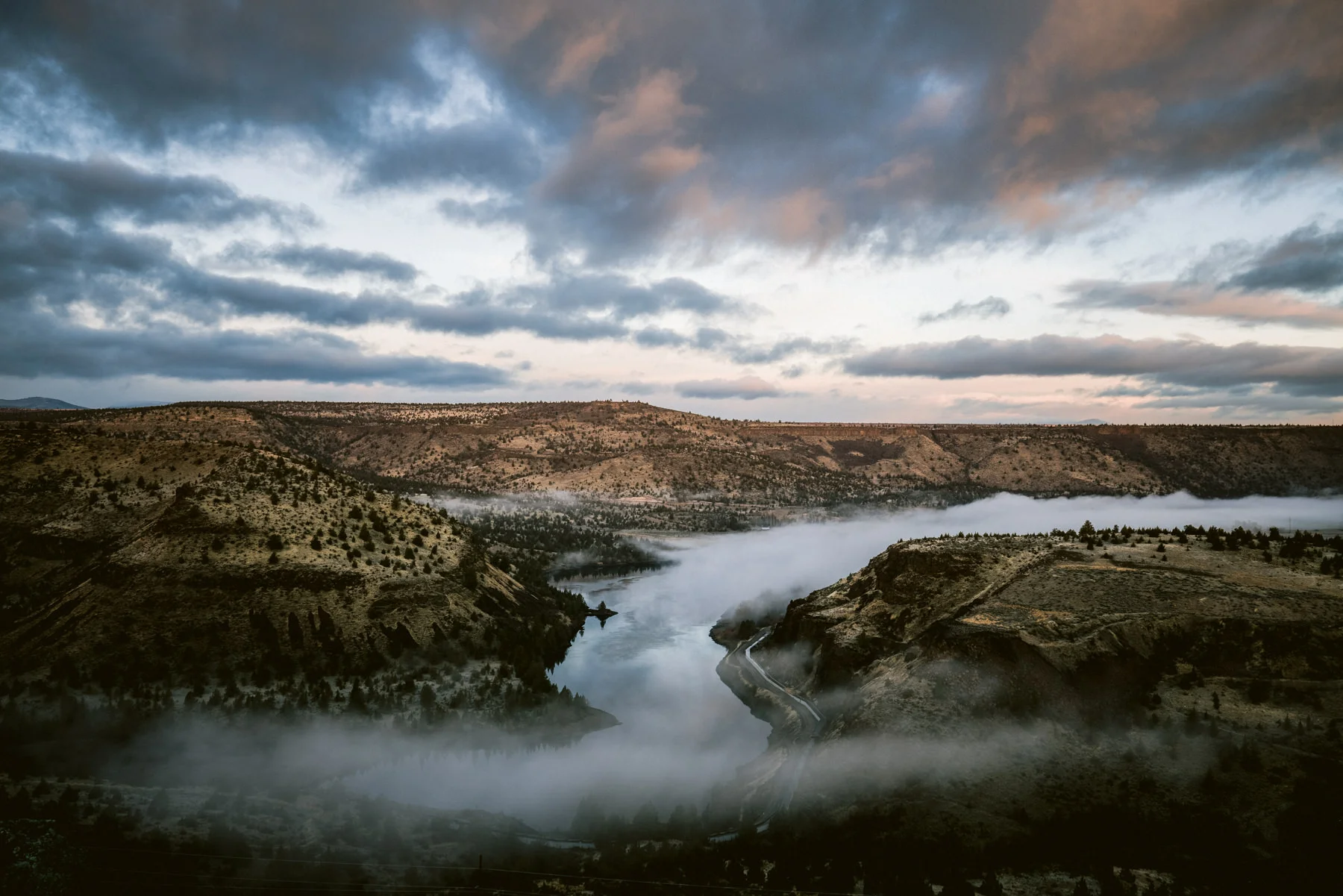
Natural Disaster Response: Lionshead Timber Salvage Lionshead Dozer Line Survey
Watershed Restoration Lower John Day Canyons Restoration Initiative Regional Conservation Partnership Program South Fork John Day Regional Conservation Partnership Program
Federal Lands: South Shore Monitoring
Public Lands:
Mt Hood National Forest Ethnographic Studies
Hydroelectric Energy:
Columbia River Gorge Archaeological and Ethnographic Studies Portland General Electric Round Butte T-Line Survey
Solar Energy Development:
Archaeological and Ethnographic Surveys
Traditional Cultural Property (TCP) and Historic Places of Religious or Cultural Significance to Indian Tribes (HPRCSIT) Evaluations
Because lived lives are what inform our understanding of what it means to be human.
